Middle Park Loop

San Angelo SP
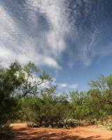
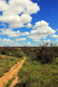
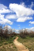
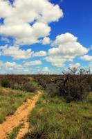
Another trail view. Some are hiker and biker others hiker and equestrian.
User: MikeHikes - 3/20/2014

Location: San Angelo State Park

Rating: 5stars
Difficulty: 2stars  Solitude: 4point5stars
Miles Hiked: 7.00 Miles  Elapsed Time: 3 hours

Comments:

Out ---- Burkett Park > Roller Coaster Trail> West Potts Creek Trail> Turkey Creek Trail  3.7 miles

Return --- Flintstone Trail> Playground Trail> East Potts Creek Trail> Burkett Trail> Burkett Park  3.4 miles

This route will take you along the western edge of the middle of the park. All trails are easy to follow and are marked well.  Trails are dirt and small rock, mostly level with slight inclines and declines although "Roller Coaster Trail" is aptly named!  LOTS of solitude - I met one older hiker at the mid-point otherwise, the trails were mine.  There is always some traffic noise from FM2288 on the edge of the park but it is easy to tune it out.  Keep in mind, the maps show a sizeable O.C. Fisher Lake but it is dry.  Recommend you look at Google Earth and you can follow the route I took, the trails are easy to spot. 

NOTES -

(1)  Burkett Park trailhead is near the junction of Lanky Lackey and Rollercoaster Trail.

(2)  Google Earth lists "West Potts Creek Trail" as "Armadillo Ridge Trail"; follow Armadillo Ridge Trail and you will see where it connects to Turkey Creek Trail. 

(3)  If you visit the park I strongly suggest you purchase a laminated trail map for $3 from the park store when you check in at the South Shore gate.  It has all the trails clearly marked and can be carried with you. 

(4)  At most of the major trail junctions, there is an info kiosk with your location, a park map and GPS coordinates.  Water is available at some locations for humans and horses.


Log Photos
San Angelo SP
San Angelo SP
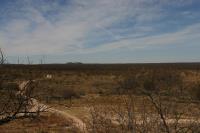
Looking North from Isabel Harte Day Use Area
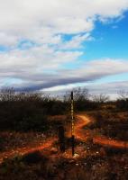
San Angelo SP Turkey Creek
San Angelo SP
San Angelo SP
Area around San Angelo State Park