North Shore Dinosaur Loop
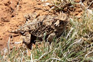
I sighted my first Horned Toad of 2014 while on Dinosaur Trail. PLEASE be aware of the park's small residents! It would be very easy to accidentally step on, or roll your bike's tire over, one of these guys and if you did, you know how you'd feel :-(
Log Photos
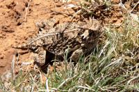
A Park Resident
Area around San Angelo State Park