Trail runs parallel to Colorado River--lots of shade!

One of the succulents planted along the Dragonfly Trail. This one came through the Big Freeze surprisingly well.
Log Photos
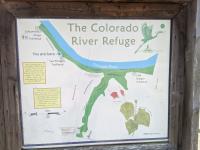
Trail map
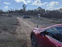
Two Bridges parking lot
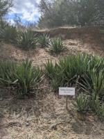
Agave univittata
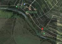
Trailheads and parking options
Area around Bastrop County Nature Park