A Walk in the Woods
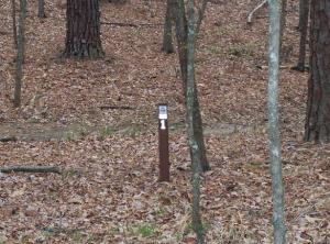
Mile markers are located off the trail and are easily missed. They occur at every mile, though.
User:
kcameron
- 3/11/2006
Location:
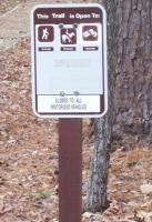
4-C Hiking Trail
Rating:

Difficulty:

Solitude:

Miles Hiked: 10.00 Miles
Elapsed Time: N/A
Log Photos
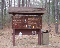
Four C trailhead in Ratcliff National Recreation Area
Trailhead
Area around 4-C Hiking Trail