Helen Putnam Regional Park Photos
Return to Helen Putnam Regional Park
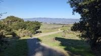
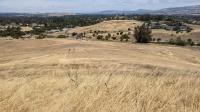
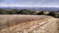
Heading back on the Ridge Trail and seeing Petaluma in the distance. (Photo by
Austin Explorer)
On the Ridge Trail looking up towards the Panorama View spot. (Photo by
Austin Explorer)
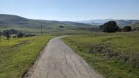
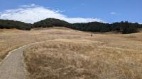
The paved Ridge Trail makes for easy walking, even if the trails might be muddy. (Photo by
Austin Explorer)
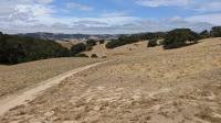
Looking southwest down Arroyo Trail from Panorama Trail. (Photo by
Austin Explorer)
Looking back down the West Wind Trail to the trailhead parking area. (Photo by
Austin Explorer)
Looking up the West Wind Trail from the Windsor Street trailhead. (Photo by
Austin Explorer)
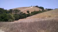
Another look at the steep Panorama Trail section from farther away. (Photo by
Austin Explorer)
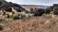
A view of the small fish pond from the Cattail Trail. (Photo by
Austin Explorer)
Three hikers ascend up the steep section of Panorama Trail across the valley. (Photo by
Austin Explorer)
The Panorama Trail near the trailhead is the steepest segment in the whole park. (Photo by
Austin Explorer)
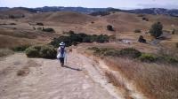
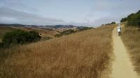
Coppertone hiking the trails at Helen Putnam Regional Park showing the rolling hills. (Photo by
Austin Explorer)
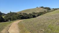
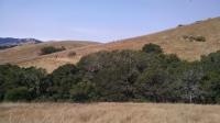
The trails meander through rolling hills of grassland speckled with clusters of oaks and other trees. (Photo by
Austin Explorer)
Another view of Petaluma from an overlook, this time showing more of downtown. (Photo by
Austin Explorer)
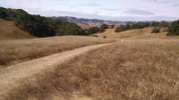
Numerous trails on the park provide views of Petaluma and the surrounding countryside. (Photo by
Austin Explorer)
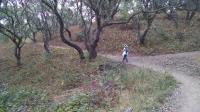
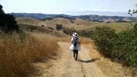
Coppertone walks along one of the shady trails in the park. (Photo by
Austin Explorer)