Standing On The Top Of Texas
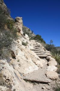
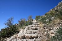
In some areas, steps have been created, but the ascent is still taxing.
User:
Blaze
- 5/21/2013
Location:
Guadalupe Peak Trail
Rating:

Difficulty:

Solitude:

Miles Hiked: 8.70 Miles
Elapsed Time: 6 hours, 3 minutes
Log Photos
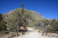
Trailhead
View Of The Trail
Another View Of The Trail
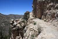
Bridge
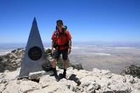
Summit
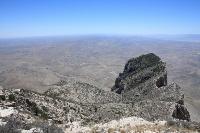
View From The Top
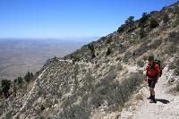
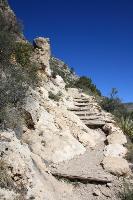
Switchbacks