Part Of My Long Fall Walk In Spring
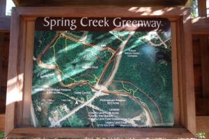
This map shows the Old Riley Fuzzel Road Preserve and the Peckinpaugh Preserve and the network of interconnecting trails that are part of the Spring Creek Greenway Project.
Log Photos

Display Map
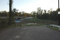
Canoe Launch
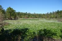
Alligator Pond
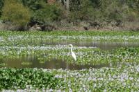
Wildlife
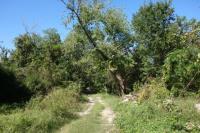
View Of The Trail
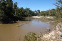
Spring Creek
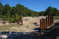
Work In Progress
Area around Old Riley Fuzzel Road Preserve