More Than Meets The Eye
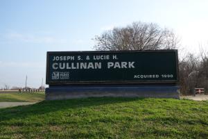
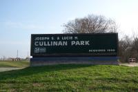
Park Sign
This is the entrance sign to the park.
User: Blaze - 2/17/2014

Location: Cullinan Park

Rating: 1point5stars
Difficulty: 1star  Solitude: 2point5stars
Miles Hiked: 6.80 Miles  Elapsed Time: 1 hour, 53 minutes

Comments:

Cullinan Park is located in Sugarland.  I hiked the trails there after finishing my Missouri City hikes.

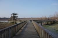
Cullinan Park is a large park that has several wooden decks that take you out over the wetlands at White Lake and it also has an observation tower.  This is a good place to watch birds and several birdwatchers were doing exactly that.

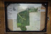
There is a display trail map posted in the parking area and it's worth studying because there is a vast system of trails back in the wooded areas.  You may not notice this without seeing the map.

The problem is that is the only display map in the park and once you get on the dirt trails, the signage is non-existent.  Trails branch off in various directions and you don't know where they go.  Additionally, there are no distance markers so you don't know how long the trails are.

I decided to explore the park and take most of the various trail branches.  Some trails dead end, especially near the waterway, or are flooded out/impassable, forcing you to turn around and backtrack.  Apparently there used to be a couple of wooden bridges spanning the waterways, but they have been destroyed or have fallen apart.  Only the support columns remain, so crossing over is not an option unless you decide to get wet.

I had to jog some of this because this hike occurred at the end of the day and I was running out of daylight.  Even though I had my GPS with me, I did not want to get stuck in these swampy woods at night.


Log Photos
Park Sign
Trail Map
White Lake

Bridge Out

Bittern
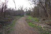
View Of The Trail
Track File
Loading...
Map LogoLarger Map   Download Download