Into And Around The Crater
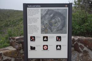
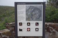
This display map at the trailhead provides a lot of useful information about the volcano.
User:
Blaze
- 7/30/2014
Location:
Crater Rim Trail
Rating:

Difficulty:

Solitude:

Miles Hiked: 1.30 Miles
Elapsed Time: 42 minutes
Log Photos
Trail Map
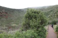
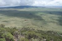
View Of The Crater Vent Trail
Another View Of The Crater Vent Trail
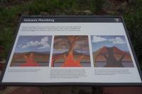
Educational Sign
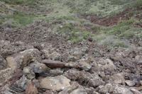
The Vent
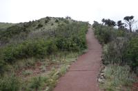
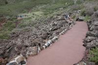
View Of The Crater Rim Trail
View Of The Vent From The Rim
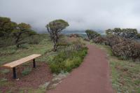
Another View Of The Crater Rim Trail
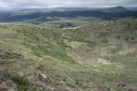
Scenic Views