Cabezon Peak

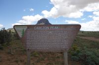
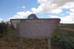
Sign
This sign is placed along the road to Cabezon Peak (seen in the background directly above the sign).
User: Blaze - 8/23/2014

Location: Cabezon Peak

Rating: 2stars
Difficulty: 2point5stars  Solitude: 3point5stars
Miles Hiked: 2.70 Miles  Elapsed Time: 2 hours, 31 minutes

Comments:

I hiked the trail up to Cabezon Peak with a friend and hiking group based out of Albuquerque.  Getting to the trailhead involved a lot of driving down dirt roads where a 4WD or vehicle with hich clearance was required.  Do not attempt to get there in a regular passenger vehicle as you could get stuck.

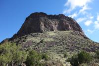
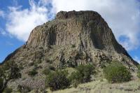
Cabezon Peak is located on BLM land.  The trail itself was very basic.  It leads up the base of Cabezon Peak and then goes around the base of the volcanic plug/rock formation.  You get great views of the peak from all angles.  The trail isn't marked, but it's pretty easy to follow until you start to go around the back side of the peak.  The trail then runs out near a field of scree.  You can continue to hike all the way around if you are willing to go cross country.  The group I was with chose not to, so we turned around.

If you are feeling adventurous, you can climb the volcanic plug.  However, be prepared, experienced and exercise caution -- others have died here.


Log Photos
Sign
Cabezon Peak
Volcanic Plug
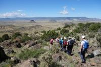
View Of The Trail
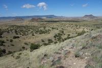
Another View Of The Trail