Return trip to reach the highpoint in the park
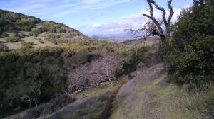
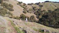
Looking back to Napa Valley on the trail as it hugs the steep hillside.
Log Photos
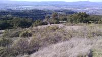
Napa
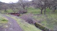
Creek Crossing
Manzanita Trail
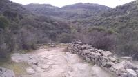
Stone Wall

Thatcher Rim Rock Trail
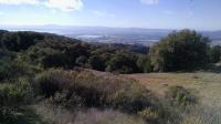
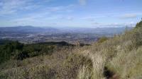
San Pablo Bay
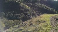
Descending
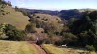
Descending
Switchbacks
Outcropping
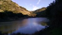
Lake Marie
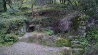
Ruins