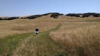
Up East Ridge Trail to the best view in the park
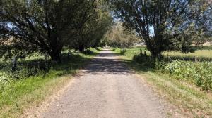
The Causeway Trail crosses Tolay Lake. Chimney Swifts loved darting between the trees, and us.
Log Photos
Causeway
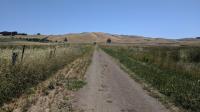
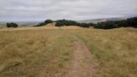
Towards the ridge
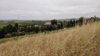
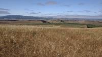
Vineyard and cows
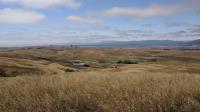
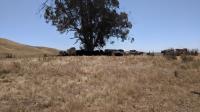
Barn and Pond
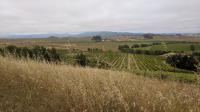
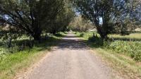
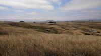
Looking back
A few more trees
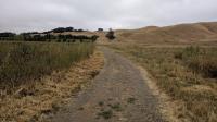
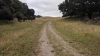
Getting close
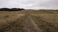
Downhill
Cougar Mountain
Mount Tam
Trailhead, in the distance
Headed back
Shade