Otay River Valley

This is under Beyer Way. Exercise caution as some areas are not very safe.
User:
Blaze
- 10/17/2019
Location:
Otay River Valley Trail
Rating:

Difficulty:

Solitude:
Miles Hiked: 12.85 Miles
Elapsed Time: 6 hours, 48 minutes
Log Photos
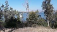
Otay Lakes

Otay River Valley
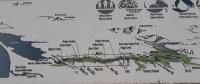
Overview Map
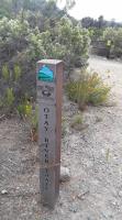
Trail Sign
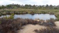
One of the Ponds

Graf