Coppertone and I picked Tolay Lake for today's hike based on wide trails (for proper social distancing), gently rolling terrain (she's coming off of some knee pain in the past), unmapped trail segments and a few geocaches (which we had picked up again after several years).
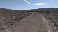
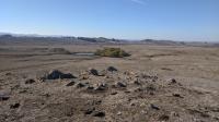
Though the parking area was fairly packed, the trail segments we chose turned out to be the least used in the park that day. We chose well. Our route included the Historic Lakeville Road Trail, Farm Bridge Trail, Pond Trail and Upland Pond Trail. On the way back to the car we used the Causeway Trail, which was much more crowded. I suspect most park visitors were headed up for the Three Bridges Vista Point, the highest point in the park.
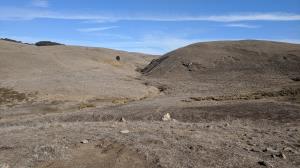
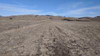
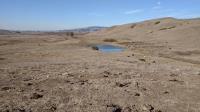
The drought year was in evidence by the dry, cracked trail surface on some sections of trail. This was most prevalent on the Farm Bridge Trail and lower sections of the Pond Trail. Careful attention had to be paid to foot placement to ensure no twisted ankles or re-injured knees would result.
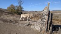
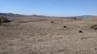
Generally, trail segments are easy to follow and well marked. The one exception was the Upland Pond Trail loop adjacent to Vista Pond. We ended up on a cow path leading down to Vista Pond. It was better defined than the official trail. We scrambled up a steep slope to get back on the correct, though more subtle, path. A bunch of cows were congregating around the pond and gave us the evil eye before we figured out we had gone astray.
We also spotted a few horses on the trail. One was riderless. No, the animal was not roaming free. Instead, the sadleless horse went for a walk with its owner, who led it by the reins. We suspect it may have been recovering from an injury.
We found all three geocaches that lined the paths we hiked. We found out what the aptly named Stinging Nettle looks and feels like on the third cache.
The 6.73 miles was the most we'd hiked in a day since the pandemic hit. It felt good to get outdoors again.