Lone Star Hiking Trail - Magnolia Section Photos
Return to Lone Star Hiking Trail - Magnolia Section
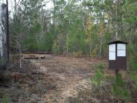
Trail View (Photo by
txpop)
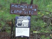
Trail sign (Photo by
txpop)
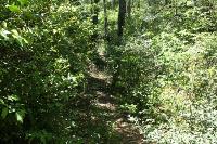
Some parts of the trail were overgrown by vegetation. (Photo by
Blaze)
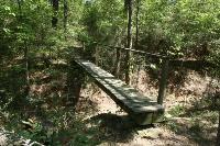
This is one of several foot bridges that cross over some small creeks. (Photo by
Blaze)
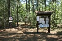
TH10 is located off FM 945. (Photo by
Blaze)
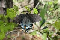
This black Spicebush Swallowtail was beautiful! (Photo by
Blaze)
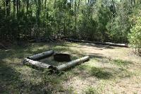
This is the Magnolia primitive campsite. It is not marked on the maps, but is between mile markers 68 & 69. (Photo by
Blaze)
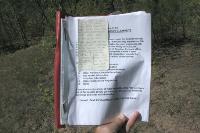
This note in the Magnolia Primitive Camp logbook had me laughing. It says, "For the love of baby Jesus, douse yourself with DEET. Chiggers are bad here, especially on the logs. Have fun!" (Photo by
Blaze)
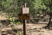
The trail is straight, so not a lot of signs needed. However, I did not see several mile markers and the trail blazes on the trees were often hard to see due to the thick vegetation. (Photo by
Blaze)
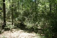
Some fallen trees completely blocked the trail, making passage a little challenging. (Photo by
Blaze)
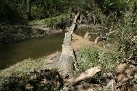
Crossing the East Fork of the San Jacinto River proved to be very easy, but I went during a time of drought. This river can flood over these banks making the crossing dangerous during wet season. (Photo by
Blaze)
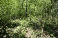
The trail in the basin near the San Jacinto River has been washed out and overgrown in some areas. It can get muddy in this area. (Photo by
Blaze)
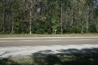
You'll have to cross FM2025 to get to the Magnolia section. (Photo by
Blaze)
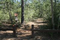
TH11 is located off FM 2025. (Photo by
Blaze)