Terry Hershey Park Photos
Return to Terry Hershey Park
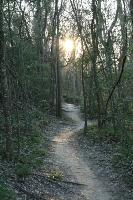
A sight every serious hiker enjoys - hiking all day until the sun sets. :) (Photo by
Blaze)
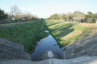
This is the view of the far end of Robin trail at Whittington Drive. At this point, it loops back. (Photo by
Blaze)
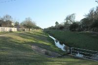
This is the long loop trail known as Robin Loop. (Photo by
Blaze)
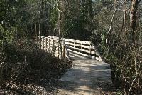
Nice bike bridges constructed by the Greater Houston Off-Road Biking Association (www.ghorba.org). (Photo by
Blaze)
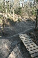
It's not very obvious in this photo, but riding off this little wooden ramp launches you off a small cliff down to the ground below. Serious air! (Photo by
Blaze)
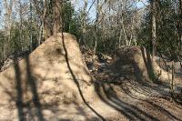
A better view of one of the dirt bike jumps. It's a good 15-20 feet from ramp to ramp. (Photo by
Blaze)
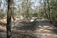
This unnamed dirt bike course is just east of the clearing where the power lines run parallel to Wilcrest Drive. It features a number of advanced jumps and berms. Cool place! (Photo by
Blaze)
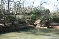
This is a view of the Jake Hershey bridge as seen from the south bank of Buffalo Bayou. (Photo by
Blaze)
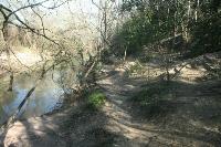
The dirt trail takes you right along Buffalo Bayou. (Photo by
Blaze)
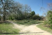
At several point the trail forks in various directions. Don't about which one to take - they all end up in the same place. (Photo by
Blaze)
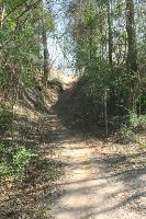
Mountain bikers love this trail. If you hear "Biker!", step off the path as they can come barrelling down the trail. (Photo by
Blaze)
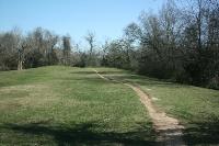
Once you cross Buffalo Bayou, you will see this dirt trail. It is the Anthills trail, but there is no sign announcing this. I do not think it is an official park trail. (Photo by
Blaze)
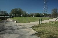
Once you pass under Eldridge Parkway, take this loop back path over the bridge crossing Buffalo Bayou to get to the Anthills trail. Unfortunately, there is no sign informing you of this. (Photo by
Blaze)
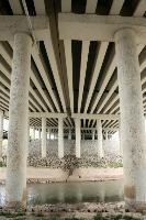
Anyone care to guess how much concrete it took to build this? By the way, there is no solitude at this point since the roar of traffic is directly overhead. (Photo by
Blaze)
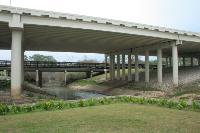
Here's the massive bridge for Beltway 8 over Buffalo Bayou. If you look closely at the base of the pillars, you can see how high the water gets when it floods. (Photo by
Blaze)
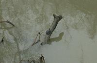
This guy had a primo spot along the bayou! (Photo by
Blaze)
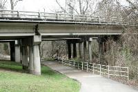
Passing under yet another road bridge. (Photo by
Blaze)
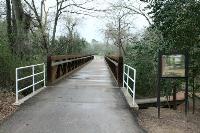
This is the biggest and nicest bridge on the Quail Trail. (Photo by
Blaze)
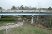
Passing under another road bridge. (Photo by
Blaze)
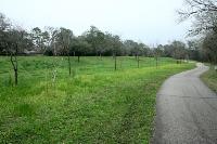
One of the many grassy glens with wildflowers growing. (Photo by
Blaze)
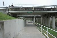
The path as it goes under another road bridge. (Photo by
Blaze)
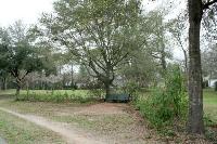
One of many beautiful rest areas along the way. (Photo by
Blaze)
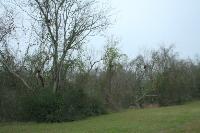
How many bird nests can you see? (Photo by
Blaze)
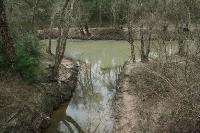
Once of the many drainage creeks that feed into Buffalo Bayou. (Photo by
Blaze)
Next 