Tolay Lake Regional Park Photos
Return to Tolay Lake Regional Park
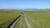
Coppertone leads the way on the West Ridge Trail back our starting point. (Photo by
Austin Explorer)
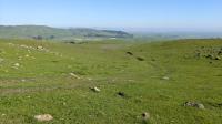
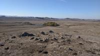
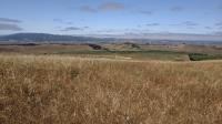
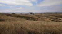
Near our turnaround spot the view included a bit of everything to see here. Open grassland, boulders, cows, thin tree lines and even a vineyard in the distance. (Photo by
Austin Explorer)
The park's resident cows kept a close eye on the equine visitors and their riders along the trail. They were not interested in being rounded up. (Photo by
Austin Explorer)
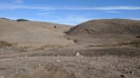
Looking up the small canyon that feeds into Vista Pond. (Photo by
Austin Explorer)
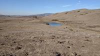
Looking over Fish Pond towards the buildings at the park trailhead. (Photo by
Austin Explorer)
Lots of cows seemed to enjoy the relative solitude around Vista Pond. (Photo by
Austin Explorer)
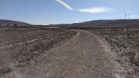
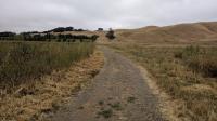
Pond Trail's surface was dry and fractured at the start. (Photo by
Austin Explorer)
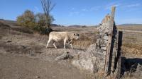
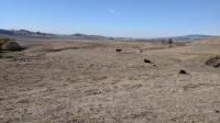
After finding our first Geocache of the day this bovine passed by on its way to better foraging. (Photo by
Austin Explorer)
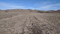
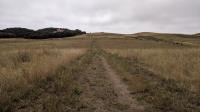
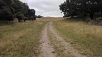
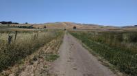
Like most trails at Tolay Lake, the path along Lakeville Road Trail is wide with open skies. (Photo by
Austin Explorer)
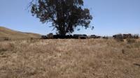
As the sky cleared and temperatures rose even the cows were seeking shade under this lonely tree. (Photo by
Austin Explorer)
Coppertone heads down the mountain back to the trailhead. (Photo by
Austin Explorer)
From the Three Bridges Vista Point, looking out over the width of Tolay creek's valley back towards the park's headquarters and our trailhead. (Photo by
Austin Explorer)
Mount Tam resides in the distance at the center of the shot. Rolling in the foreground at the hills of Tolay Lake Regional Park. On clearer days the Golden Gate Bridge can be spotted, part of the reason for this spot's name, Three Bridges Vista Point. (Photo by
Austin Explorer)
Cougar Mountain and Sonoma Speedway as seen from Three Bridges Vista Point. (Photo by
Austin Explorer)
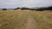
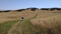
Looking back on the trail towards the most treed portion of the trail. (Photo by
Austin Explorer)
The trail continues to ascend along East Ridge Trail a bit less than a half mile from Three Bridges Vista Point. (Photo by
Austin Explorer)
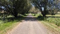
There are few trees in the park, but along a section of trail that parallels a seasonal creek there are a bit more. (Photo by
Austin Explorer)
Looking back towards the trailhead on the opposite side of the valley. (Photo by
Austin Explorer)
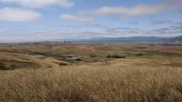
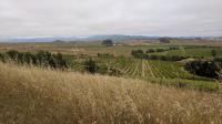
From the East Ridge Trail looking over an adjacent property's barn and pond and vineyards on the rolling hills. (Photo by
Austin Explorer)
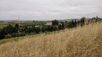
The vineyard on the left is private property adjacent to the park. Near the center is the first of several gates along the trail. A coupe of cows can be seen hanging out. Looking for a way to open it? (Photo by
Austin Explorer)
The few trees along the Causeway disappear and it's open skies for most of the hike. Our goal is straight ahead. (Photo by
Austin Explorer)
The Causeway Trail crosses Tolay Lake. Chimney Swifts loved darting between the trees, and us. (Photo by
Austin Explorer)
Next 