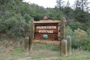
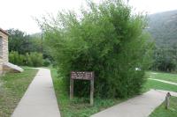
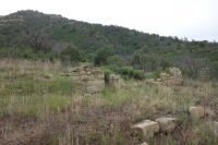
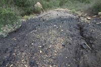
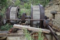
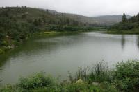
This log covers my hike of the River Walk, Coal Camp, Mines #2 & #3 and Lake Alice Trails. I started my hike at the Ranger Station, taking the River Walk Trail. I then branched off to the Coal Camp Trail. You an pick up a free interpretative brochure of the Coal Camp Trail at the Ranger Station that will help provide a lot of interesting history of the camp and mines. Additionally, there are a lot of educational signs posted along the trail that detail the history of the area. After hiking up to Mines #2 and #3, I descended down to the Lake Alice Trail and took it out to Lake Alice. I returned along the paved road.