Sugarite Canyon State Park Photos
Return to Sugarite Canyon State Park
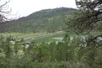
The trail provides a nice view of Lake Maloya. (Photo by
Blaze)
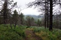
This is another view of the trail. (Photo by
Blaze)
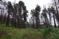
This is a view of the trail. (Photo by
Blaze)
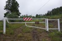
This is where the trail starts/ends. (Photo by
Blaze)
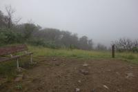
There is a rest bench at the top of the trail. It is a scenic overlook. (Photo by
Blaze)
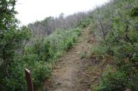
The trail is uphill and has numbered exhibits for the interpretive tour. (Photo by
Blaze)
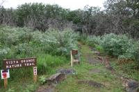
This is a view of the trailhead. (Photo by
Blaze)
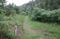
This is the trailhead across the street from the Lake Alice campground. (Photo by
Blaze)
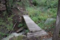
This is one of a couple boardwalks that span wet creeks. (Photo by
Blaze)
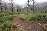
This is a view of the trail as I was descending. (Photo by
Blaze)
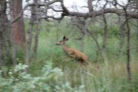
This is where the trail gets its name from. (Photo by
Blaze)
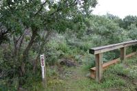
This is the trailhead near Soda Pocket campground. (Photo by
Blaze)
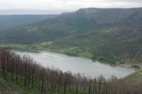
This is a view of Lake Maloya from Little Horse Mesa. (Photo by
Blaze)
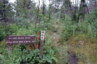
The trail to Little Horse Mesa is short, but fairly steep. (Photo by
Blaze)
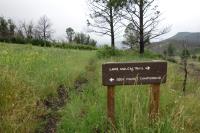
Trail signage was good, such as this sign where I took the trail to Soda Pocket campground. (Photo by
Blaze)
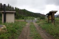
I turned around at the trailhead of Colorado's Lake Dorothy State Wildlife Area. (Photo by
Blaze)
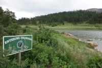
Part of the trail takes you into southern Colorado. (Photo by
Blaze)
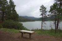
The trail takes you past Lake Maloya. (Photo by
Blaze)
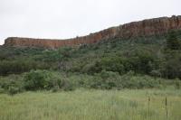
The trail takes you past the base of Little Horse Mesa. (Photo by
Blaze)
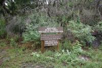
This is where the trail starts/end. (Photo by
Blaze)
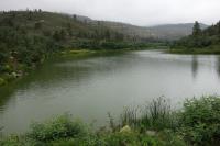
A view of the lake. (Photo by
Blaze)
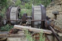
Equipment used in the mine is still present. (Photo by
Blaze)
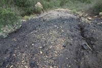
Coal from the mines is still present. (Photo by
Blaze)
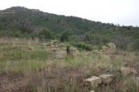
Remnants of the coal camp can still be seen. (Photo by
Blaze)
Next 